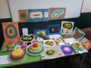
In recent weeks our Year 7 geographers have been set a homework task to create a model showing how layer shading, contour lines and spot heights communicate height on a map. Throughout the year group we have seen outstanding work including cakes, fired and painted clay and lego in addition to more conventional cardboard and wooden models.
The pictures shows the work of 7CS.
Well done to you all!